Milestone 38 - Missing *Above banner image, Rainbow Elementary school in its final days, shows a building now gone. The right third is already demolished in this photo.
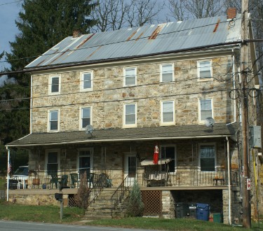
The Hands Pass Inn or Cross Keys as it was also known was just to the East of where the 38 milestone stood. It was known as a wagon stand. One of the unique features of this building is are the diamond shaped windows under the roof gables - unfortunately they don't show up in this picture. The stone itself was missing in 1952 and hasn't turned up since. There was also a toll house across the road from the inn. There was also a Cross Keys Inn near the 44th Milestone which I was unable to locate as well as one in Lancaster.
The bandit, James Fitzpatrick aka Sandy Flash, and his partner Mordecai Dougherty are rumoured to have had a cave hideout near here for his robbery campaign against patriots and tax collectors before his 1777 capture. After his capture and 3 foiled escape attempts he was sentenced to be hanged. According to one story after the rope around his neck was adjusted and the cart he was standing on was driven off - he was still standing - now on his tiptoes. The accommodating hangman is said to have climbed on his shoulders to force him downward and effect his death by strangulation.
General Washington had a group of men lead by a General Hand guarding the pass during the Revolutionary War which may be how the area got its name. General Hand later had a home in Lancaster known as Rock Ford Plantation that is open to tours today.
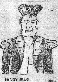
Taken from a 1954 newspaper account of How the Three Tuns Inn was purchased with the Reward money from the capture of the notorious Sandy Flash.
Near the old Pass School House was a Spring
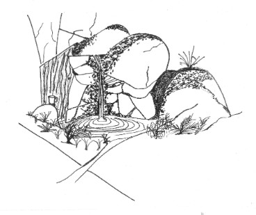
A must stop point on the old turnpike was a spring that came out of the hillside just off the pike. A newspaper account from 1927's Coatesville Record recalls how Conestoga wagon drivers used to stop here in the early days of the turnpike. In the 1880's Lime Wagon drivers would stop here. Later during the bicycle craze bicyclists would stop here as well. School children from the local school used it as well. "Here the boys and girls came to get their drinking water, and excellent water it was. There was always a drinking cup. It might be a rusty tomato or baking powder can..." In 1927 the spring was diverted so the road could be paved over ending at least 150 years of active use of the spring. No pictures of the Spring seem available so the one here is fictional, although I did add a drinking cup based on the account. The old Pass Schoolhouse is gone as well having been incorporated into the public works building.
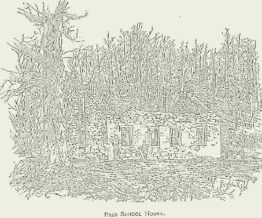
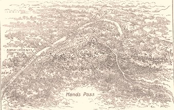
Above, is a map of the Hands Pass area along the Pike as it rise west out of Coatesville. At left is a sketch of the remains of the old Pass School. The building was incorporated into the township building when it was built. These sketches are from Wilmer Mack's book Along The Brandywine.
A Terrain map with the salmon colored stickpin showing the general location of missing Milestone 38.
A map of the Hands Pass area doesn't particularly jive with this map. That is is probably due to the fact that better vehicles have allowed for a steeper grade out of Coatesville and therefore a shorter route.