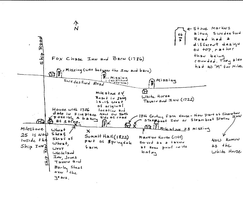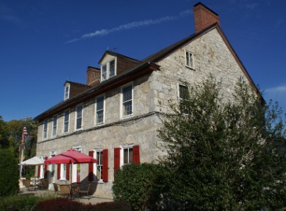
Milestone 25 - Inside at the Ship Inn The Ship Tavern was built in 1796 at the NW corner of Ship Road and the Turnpike. It's name came from the signboard that was carried from the first Ship Tavern West of Downingtown. Legend has it that the first sign had 13 musket-shot holes in it from angry patriots who the pro-British owner refused to serve after the Battle of Brandywine in 1777. That sign has since been lost. The Milestone sits next to the large colonial fireplace that you see when you enter The Ship.
The barn that appears in a sketch of the Inn is probably in the fenced in area west of the parking lot. Several of the sketches and photos in that West Whiteland History appear to be reversed, including that one. There is also a contemporary painting of the Ship that shows it on a Winter evening. In 2009 it was available at the Exton Mall. The Ship sits along the corner of the Turnpike, Rt 30 today, and Ship Road. I'm not sure if the road was named after the Inn as according to legend it follows an old Indian Trail. There was also some supposed to be a few soldiers buried in the Ship's vicinity during the Battle of the Clouds 19 years before it was built. The British were attempting to outflank American forces that were spread along the Ridge that Immaculata College sits on and sent a group toward Ship Road to do so. Smaller elements from both armies ended up clashing near the Boot Tavern. There is an excellent website out there http://johnsmilitaryhistory.com/clouds.html that chronicles the battle which includes maps and panoramic pictures even though the cannon tubes from Church Farm School now displayed at Fort Mifflin didn't play a role in the battle. Contact me for the rest of the story.
http://www.shipinn.net/history.cfm
The above link will take you to a fascinating history of the Ship
*Above banner images were taken in the Exton Town Center area, Bacton Road and Frazer areas. The left image is a restored version of the Frazer rail station. Next to it is the remains of a colonial cabin found along the southbound side of Route 100 as it heads into Exton. The gravestones image is from an abandoned church site on Bacton Road. The image on the right is from the last of the Thomas homes to be built in West Whiteland Township found in the Exton Town Center area.
A hybrid map with the salmon colored stickpin showing the general location of Milestone 25. Yes its inside the Ship which is why the stickpin is on top of it.
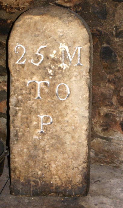
Below: Sketch map of the 23 to 25 milestone area and Swedesford Road to its North.